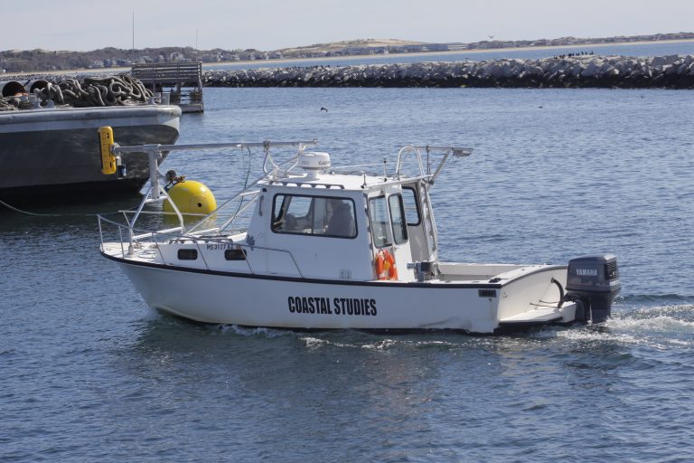
R/V Marindin
The Research Vessel (R/V) Marindin was named after Henry L. Marindin, a topographer with the U.S. Coast and Geodetic Survey. Between 1887 and 1889 Marindin completed a detailed survey of the outer Cape from Chatham to Provincetown, during which he collected 190 profiles along 56 km of shoreline in what is now the Cape Cod National Seashore. Surveying from the top of the coastal bluffs out to ~10 m of water depth, Marindin’s goal was to develop a foundational dataset for concerns of the day and needs of the future:
Among the objects aimed at one was to obtain an accurate mold of the exposed shore of Cape Cod for present use in determining the amount of waste or fill since previous surveys – where the surveys are sufficiently detailed for this purpose – but the more direct object was to provide a base for future comparisons, which will be of value to geologists and others who study the changes in the coast-line. (Marindin, H.L. 1889)
As its namesake was one of the first investigators to realize the importance of mapping the land/sea interface as one system, this customized, shallow-draft boat used to map the "white space" between the marine and terrestrial environments was commissioned in his honor in 2012.