With Students’ Research, New Signage Reveals Stories Along the Harborwalk
By partnering with Friends of the Boston Harborwalk, UMass Boston graduate students researched the history, ecology, and the changes that Columbia Point has seen over the last several centuries. New signs make these surprising stories accessible to the joggers, dog-walkers, bikers, and other visitors to the seaside walkway.
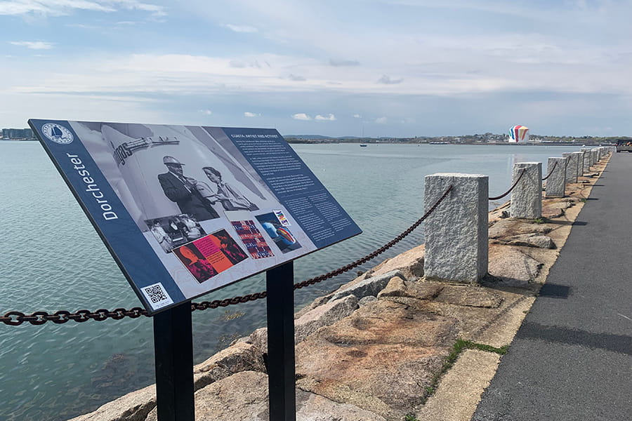
Along the edge of the UMass Boston campus, where the waves of Boston Harbor lap against blocks of granite, runs the Boston Harborwalk. This public trail, which winds around the edge of Columbia Point, extends more than 43 miles in total, from the mouth of the Neponset River to the border of the airport. This year, the UMass Boston segment of the Harborwalk received some new signage—created with contributions from UMass Boston students—which tells the story of Columbia Point and the waters around it.
The signage was created by Friends of the Boston Harborwalk (FBHW), a volunteer organization which has been adding interpretive signs along Boston’s Harborwalk for the past decade. “Dorchester was the last neighborhood for which we didn’t have a master plan,” said Liz Nelson Weaver, leader of the signage team at FBHW.
FBHW connected with Jane Becker, director of public history at UMass Boston, to ask whether she’d be interested in a collaboration. Becker was able to offer a graduate-level course in which students would pitch ideas for sign sites and content, research them, and develop a master plan for the site. “HIST 625 - Interpreting History in Public: Approaches to Public History Practice” would allow students to get hands-on experience in designing public history displays.
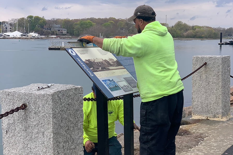
A work crew installs one of the new signs along the Harborwalk.
After being assigned a specific area of Dorchester to focus on, the students dove into the area’s histories. To learn more about the region, they spoke with curators and historians, visited Boston archives and combed through historic articles from the Dorchester Reporter and other newspapers. By late in the semester, they had developed a master plan, which they presented to FBHW.
Becker notes that for students who lived nearby, it was “a cool neighborhood project.” The class found that they felt a greater ownership over the campus itself, she said. “They were excited about contributing to something that had a very tangible presence and results.”
For the next phase of the project, FBHW took the reins. Nelson Weaver reached out to UMass Boston administrators, seeking their support as she prepared a grant application to cover design, manufacture, and installation costs. Thanks to a $38,000 grant from the George B. Henderson Foundation, the project could proceed. Using the master plan UMass graduate students had created, the FBHW volunteers researched the area’s history and ecology in depth and created the sign content. FBHW team members worked closely with UMass Boston faculty to guide the content of the marine ecology sign, as well as to review the content of several other signs. FBHW arranged for professional Spanish translations and worked with Perkins School for the Blind to create descriptive audio versions of the signs; both can be accessed by scanning the QR code on the sign itself.
Some of the signs also feature commissioned art. For instance, the sign about the Massachusett Tribe, whose people lived along the shore prior to English colonization, showcases a painting by Wabanaki artist Norma Randi Marshall.
“Hopefully, in every neighborhood, we have at least one sign to remind you that the land looked very different 400 or 450 years ago,” said Nelson Weaver. “It was heavily populated with people who thrived here for generation upon generation.” Representatives of the Massachusett Tribe at Ponkapoag provided guidance on the text of this sign, as well as one describing a panorama view of the Harbor Islands. The panorama also has a custom illustration, created by recent UMass Boston graduate Rafaela Astudillo ’26.
“Especially as an emerging artist, I think having something that’s going to stay around for a long time is really special,” said Astudillo. She enjoyed the chance to paint something she was so familiar with, in a way that would resonate with UMass Boston students for years to come.
“One of my purposes for taking this opportunity was to highlight that the art community at UMass Boston is really, really stellar, and we have great talent here,” she said.
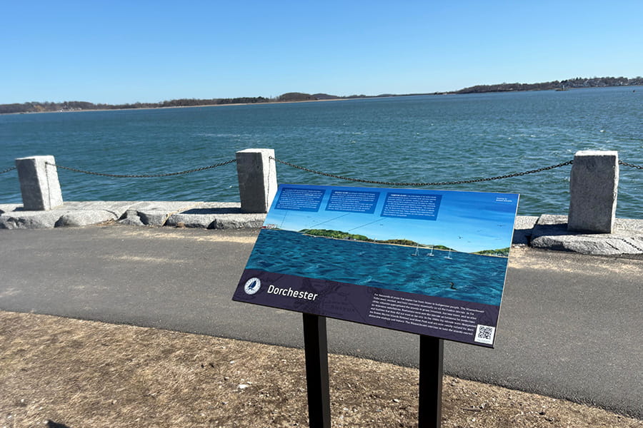
Astudillo's painting helps visitors identify the Harbor Islands which can be seen near UMass Boston.
Collectively, the new signs depict a peninsula in constant evolution. As the city of Boston grew from its colonial beginnings, Columbia Point would become the center of an important civic improvement. The imposing Calf Pasture Pumping Station, revolutionary in its day, pumped the city’s sewage out to Moon Island for disposal—a major upgrade from the prior system, in which sewage was dumped straight into the harbor from shore. The entire peninsula expanded as it became home to two garbage dumps.
In time, Columbia Point also became the site of public housing for 5,000 people. One sign describes how, in 1962, a four-year-old girl was tragically struck and killed by a garbage truck. The mothers of Dorchester protested, and with their activism, succeeded in shutting down the dumps. “That was a story that the UMass Boston students brought to our attention,” said Nelson Weaver. To her, it’s important that visitors to the Harborwalk come away learning something surprising and new: “We do extensive research to find a new angle, or a forgotten person.”
Today, Columbia Point is unrecognizable when compared to the signs’ historic photos. “With all the changes to the campus, and the JFK Library, Columbia Point has been utterly transformed,” said Nelson Weaver. Even its ecosystem is healthier: One sign helps readers identify local shorebirds, using illustrations from renowned ornithologist and author David Sibley. Another sign highlights creatures that live among the salt marshes, seawalls and mudflats that surround the UMass Boston campus.
“We want people to come away really understanding what a treasure the harbor is,” said Nelson Weaver.